
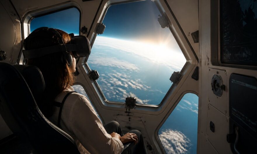
Imagine being able to track the path of a plane above your head in real-time while immersing yourself in a virtual world where the sky becomes your playground. Stowaway offers you this possibility, transforming your curiosity into a unique digital adventure. Discover how this innovative tool plunges you into the heart of aviation and satellites.
The essentials to remember
- Stowaway allows you to track planes and certain satellites in real-time from a virtual perspective.
- The service is free, with a paid option providing access to an artificial intelligence named Roger.
- The information displayed comes from public sources and third-party services, with limitations in terms of accuracy and completeness.
Have you ever wondered what passengers see from planes crossing the sky? Stowaway aims to answer this question by offering you an immersive experience from your browser. Whether you’re an aviation enthusiast or simply curious, this tool opens a window to the aerial world without leaving the ground.
How Stowaway works: immersion in a virtual sky
Stowaway recreates the sky around your position using aerial and satellite data. By selecting a visible plane on its interface, you can virtually “board” and follow its journey. This service does not require creating an account, and you can even manually enter your position to preserve your privacy.
When you choose a flight, Stowaway offers several viewpoints, providing a realistic simulation of the journey. Although the landscapes may sometimes lack detail, especially at high altitudes, the experience remains captivating for those who wish to explore the sky differently.
Advanced options and tool limitations
Stowaway offers a premium version that includes access to “Roger,” an artificial intelligence capable of answering questions about flights and facilitating access to certain information. However, the tool is not designed for professional uses such as navigation or operational tracking of aircraft.
The data used by Stowaway comes from public sources, and their accuracy may be limited. For example, satellite positions may not be up to date. Additionally, the tool uses Google’s 3D maps to recreate the landscape, but technical constraints may sometimes affect the display quality.
Technical issues and proposed solutions
In August 2026, Stowaway encountered technical difficulties due to too many users, affecting the quality of terrain display. The site’s creator is actively working on a solution to improve the user experience and address these performance issues.
Opportunities offered by Stowaway for learning and entertainment
Stowaway not only satisfies the curiosity of aviation enthusiasts but also offers educational opportunities. By allowing users to visualize air traffic and satellite positions, it encourages the learning of concepts related to aviation and space.
Virtual reality and its impact on aerial exploration
With the rise of virtual and augmented reality technologies, tools like Stowaway show how these innovations can transform our perception of the aerial world. These technologies enrich the user experience, offering a more immersive and interactive view of the sky.
FAQ about Stowaway and its use
How does Stowaway work?
Stowaway uses public data to recreate the virtual sky around your position, allowing you to track the path of planes and certain satellites in real-time.
Is Stowaway free?
Yes, the basic service is free. However, a paid option is available for those who wish to access advanced features, such as the artificial intelligence Roger.
Can Stowaway be used for air navigation?
No, Stowaway is not designed for professional uses such as navigation or operational tracking of aircraft. It is a tool for entertainment and personal interest.
What are the tool’s limitations?
The displayed data may be incomplete or delayed due to their origin from public sources and third-party services. Additionally, the display quality may be affected by technical constraints.